


Google Earth


Current Version: 5.2.1.1329 (June 16, 2010)
Google Earth is a free program from Google that combines satellite imagery, maps and the Google search to a huge amount of geographic information at your fingertips. Features include:
- Fly from space to your neighborhood. Type in an address and zoom right in.
- Search for schools, parks, restaurants, and hotels. Get driving directions.
- Tilt and rotate the view to see 3D terrain and buildings.
- Save and share your searches and favorites. Even add your own annotations.
Version 5.2 was a major new release that added/changed the following:
- Improved embedded browser functionality: Better integration of embedded browser with Google Earth Application.
- Track and Multitrack in Google Earth: A track allows you to create one visible object in Google Earth (either a Point icon or a Model) that moves over time between multiple positions. Using the time slider, you can animate position and orientation of an object and show a line tracing the path. A multitrack is a collection of tracks. You can create Track and Multitrack by authoring KML documents or by importing your GPS data (from a number of GPS receivers or file formats such as GPX) into Google Earth.
- Elevation Profile in Google Earth: You can see elevation profile of a line-string or track in Google Earth. It plots the elevation profile, speed, and associated extended data (for example, heart rate) in a KML file.
- Added file import types: NMEA (.log and .nmea), Garmin GDB, Garmin Training Center, and Ozi Explorer files can now all be read. Garmin fitness extensions are now read from GPX. Extended data for Elevation Profile and Track is handled when available.
The recommended configuration for this release is as follows
- Operating System: Mac OS X 10.4.5
- CPU: G4 1.2Ghz
- System Memory (RAM): 512MB
- Hard Disk: 2GB free space
- Network Speed: 768 Kbits/sec
- Graphics Card: 3D-capable with 32MB of VRAM
- Screen: 1280x1024, "Millions of Colors"
The "Pro" version is available as a 7-day trial, and may be purchased online for $400 per year. It adds the following enhancements:
- Fastest performance - enhanced network access
- Improved printing and saving capabilities (2400 pixels)
- Additional annotation tools (draw polygons with height)
- Spreadsheet import - ingest up to 2,500 locations by address or lat/lon
- Additional measurement tools (square feet, miles, acreage, radius, etc.)
- Technical Support assistance (email and phone) during business hours (PST)
- Optional premium features including: Movie Maker, Premium Printing and GIS Data Importer
Google Earth is not a typical Mac OS X "Cocoa" or "Carbon" application, but rather it was written using the portable Qt/Mac framework. This means that the application is a little larger than you might expect, and it also helps explain why it uses rather old-fashioned looking tabs and controls. That said, it functions quite well, and it's worth a download.
User Reviews
Currently, no user reviews have been submitted. Send me yours!
 the Mac OS X 10.4+ (Universal) version.
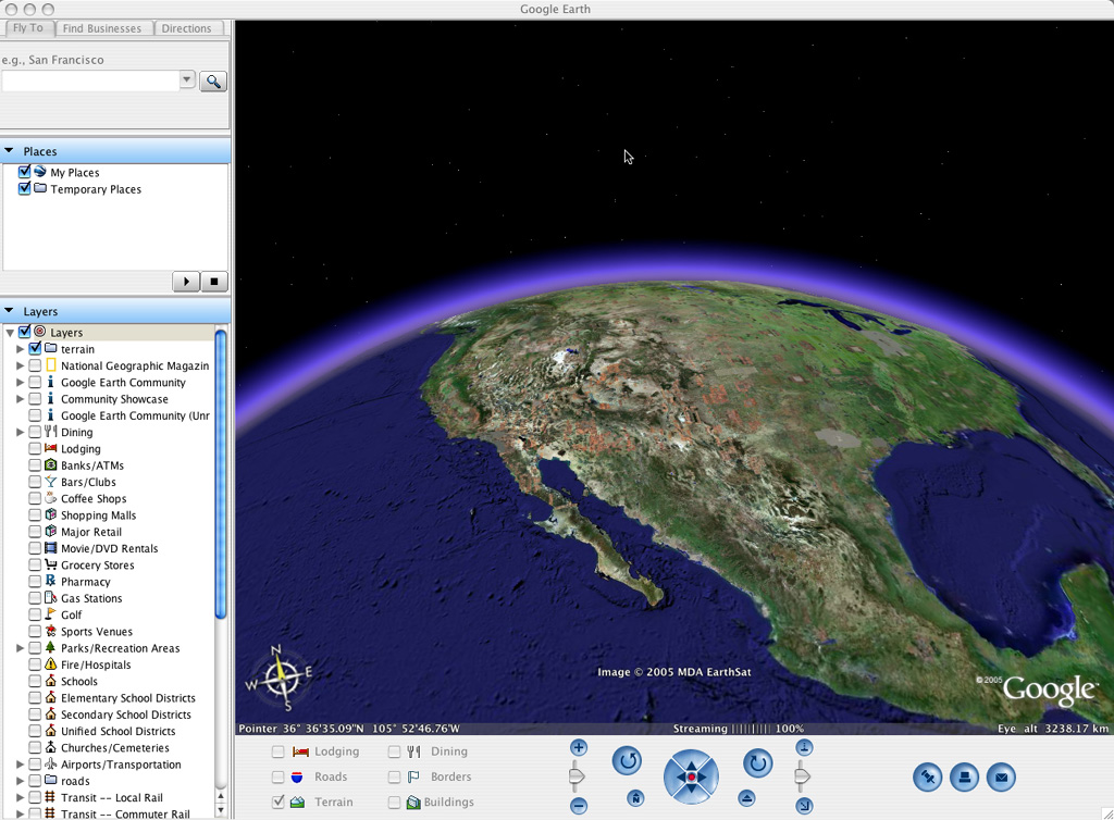
Also See . . .
Can't find what you're looking for? Try a search:
Also, if you have an older Mac, be sure to check out the "Classic" applications page for more options.
Finally, take a look at ALEMIA if you think you know that name of an application, but aren't quite sure.
Also Consider . . .
These are applications that are newer and of potential interest, but which I haven't yet selected for permanent inclusion. Have a look, and let me know if you think they deserve to be part of the permanent collection!